Changtang
- the Tibetan Highplateau


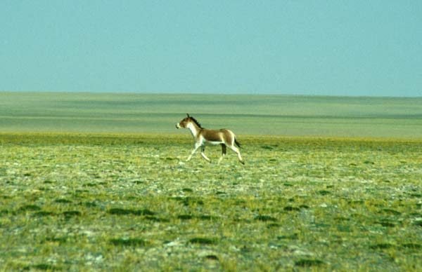
Kiang
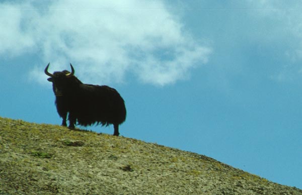
wild yak
| Changtang
- the Tibetan Highplateau |
||||
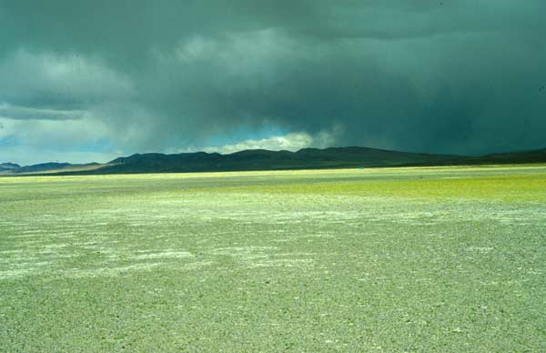
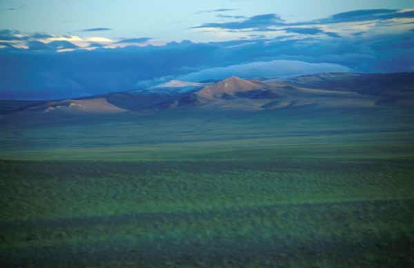
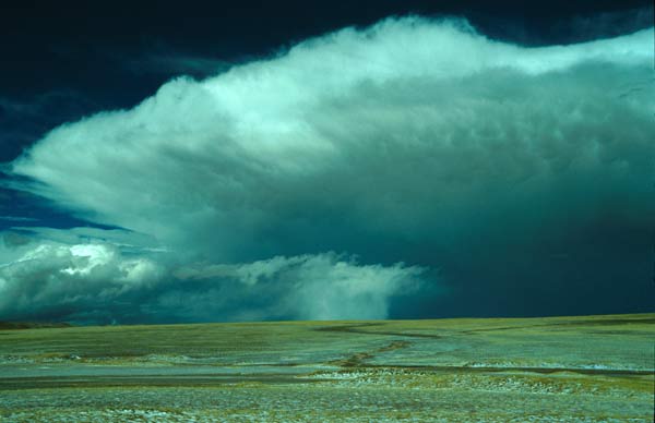
| Changtang is the name for the Tibetan high plateau located between the Transhimalaya and the Kunlun ranges. The Changtang extends 1500 km in east-west dirction and 1000 km north to south. It is not a plateau as such, but has a number of smaller mountain ranges. The altitude of the Changtang is between 4500 m and 5500 m, single peaks in the central Changtang reach up to 6640 m, in the Kunlun mountains at the northern edge of the Changtang mountains reach up to 6973 m. | ||||
|
|
|
|
|
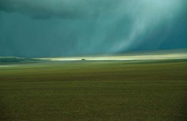
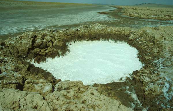
| The Changtang is a region of extremes: The mean annual temperature is -5°C, in winter it can get as cold as -40°C while icy winds howl over the platau. Also in summer sudden weather changes are not rare, and temperature differences between day and night of 60°C are quite usual. The central Changtang is a closed watershed - no rivers lead out of the central Changtang and rivers from the glaciers of surrounding mountains evaporate in many salty lakes. | ||||
| |
|
|
||
| Despite the harsh climatic conditions and the rather sparse vegetation, the Changtang bears a rich fauna. Besides wild donkeys (Kiang) and antilopes (Chiru), the Changtang is home to wild yaks, bears and wolves. In addition there are many birds, like grouses, eagles, wild geese, etc. | ||||
|
Kiang |
wild yak |
|||
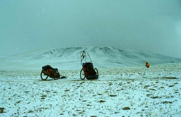
| The Changtang remains to be one of the most inaccessible regions of the world, one of the last "white spots" on the maps. Only the Swedish explorer Sven Hedin managed to map and explore large areas of the Changtang during his huge and material intensive expeditions. Hundreds of his support animals died, and also his crew had to suffer from altitude and frost. Until 1997 nobody had traversed the complete central Changtang without support or depots - by fair means. Reason enough to change that... | ||||